
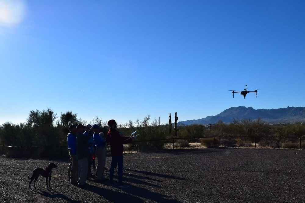
Meet Drogon—a custom-built DJI developer drone that has been outfitted with a high-resolution thermal camera to study microclimates in regions around Phoenix, Arizona.
We use Drogon as a research probe to explore the capabilities of aerial thermal-sensing in a citizen science context. We partnered with the McDowell Sonoran Preserve — a local nature conservation community of policy makers, scientists, and citizen volunteers. Working with the preserve, we received a city permit to collect aerial thermal data in a wildlife corridor—a region that is of particular interest to the conservancy because of recent paved road development that may be affecting wildlife migration.
The Location:
The Scottsdale McDowell Sonoran Preserve is the largest urban preserve in North America. With over 100 miles of accessible trails, this rich terrain also features many unique species of plants and animals which call this habitat their home. Over the last decade, a substantial increase in development around the preserve boundaries has caused an unwanted amount of noise and traffic negatively affecting these species that inhabit the area. We partnered with the preserve to explore how drone-based thermal sensing could improve current data collection and gather new information for existing and future citizen science projects.

The Tools:

Drogons capabilities currently include a gimbal stabilized 4K DJI Zenmuse camera while simultaneously running one of our two FLIR infrared cameras hand-wired to receive power from its battery. The FLIR Duo Pro infrared camera contains both a thermal lens as well as digital lens, blending the two for a “critical edge” overlay on thermal images and videos, allowing the observer to distinguish the smallest details from hundreds of feet in the air.
The Process:
Through the use of the applications Drone Deploy and Pix4D, target areas of the preserve are mapped out and flight plans are calculated prior to transport. These calculated flight paths are performed by the drone autonomously while it triggers both digital and thermal images of the ground below. The images are taken with enough overlap so that through processing we can create large stitched mosaics of the entire flight. Because Drogon is equipped with GPS, all images taken contain coordinate data, allowing teams to properly pinpoint locations in these stitched images post-flight.
We collected thermal aerial imagery of the road cutting through the wildlife corridor in the preserve and explored the implications of this data in a co-design workshop with 12 stakeholders working with the preserve, including statewide Arizona Game and Fish management, city of Scottsdale park representatives, and citizen scientists. Our findings revealed 3 concrete directions for future drone-based citizen science projects in HCI: studies of water flow in desert regions, invasive species monitoring, and wildlife tracking and preservation. These areas present logistical challenges of obtaining flight permits and the non-trivial technical challenges of working with drones during remote fieldwork (e.g., battery life, operating flights at high temperatures in the dessert, checking data quality in the field). At the same time, there are many new and exciting opportunities for HCI, including drone flight-planning software for specific types of data collecting, development kits for easier augmentation of drones with additional custom sensors, systems for analyzing and sharing hybrid data that incorporates aerial imagery with human observations and on-the-ground sensors, and the broader impacts of this work on policy (e.g. road development and traffic in the preserve).
Moving forward, our work will implement citizen science projects across the three areas suggested by the stakeholder community. We expect to develop several new HCI interfaces that will scale and generalize to other citizen science efforts beyond our work, including a plug-in for easier flight path planning to target data collection sides; data sharing applications that produce geo-referenced aerial images that could be superimposed over other GIS (map) data of the preserve; and mechanisms for more broadly sharing the findings with policy makers and the general public. Above all, our work presents a critical first step towards new developments in low-cost and widely accessible drone technologies that have the potential to radically transform the existing mechanisms for citizen-driven data collection, scientific analysis of the gathered information, and the broader impacts of drone-based projects on science activism and policy.